Fires and blackouts but rain on horizon
More than 24,000 homes are blacked out and more than a dozen fires are blazing across the state, but there are hopes that overnight rain will ease today’s extreme conditions.


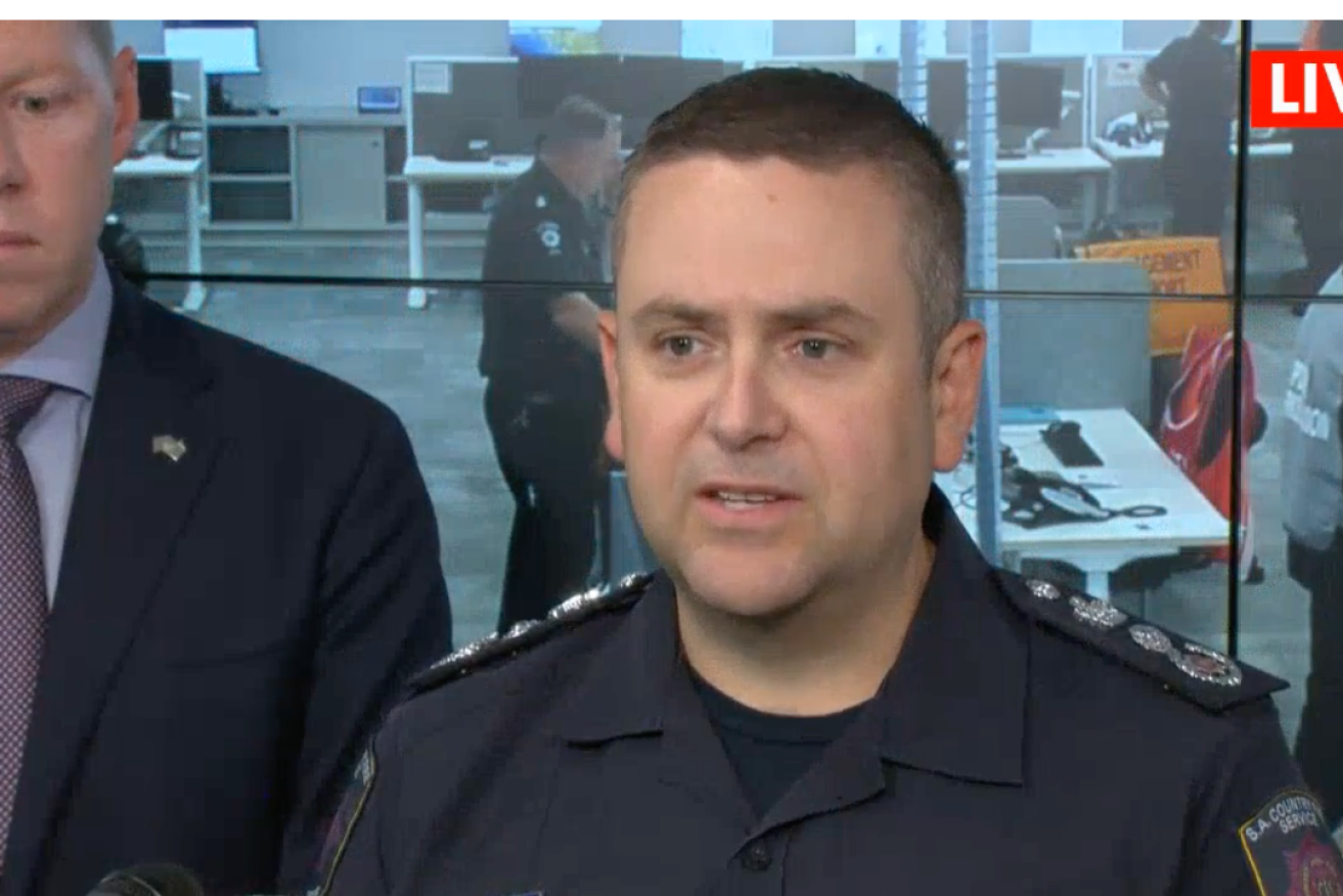
CFS chief officer Brett Loughlin at a press conference this afternoon. Photo: 7News/Facebook
More than 250 CFS crews have laboured under extreme conditions to fight fires burning in mostly rural terrain.
There have been more than 30,000 lightning strikes today, with one strike causing a bushfire at Melrose in the Mount Remarkable Ranges, around 40km southeast of Port Augusta.
The CFS said crews have halted that fire’s forward spread but it may be causing smoke to drift across the area.
“We’ve been able to keep that fire away from properties at this point,” CFS chief officer Brett Loughlin said shortly after 2pm.
“It was a lightning strike on top of a ridge line – crews did a fantastic job of accessing that in very difficult terrain.
“They’ve been able to put that fire in a box and behind control lines and keep it there, but that’s going to be a focus until rainfall occurs because that’s a very difficult area to work in.”
The fire comes after authorities warned that today would be one of the most significant fire weather days in several years due to a combination of high temperatures, dry thunderstorms and wind gusts of up to 100k/h.
Fire conditions are expected to ease once rainfall hits the state, but this is not expected until 2am.
The CFS reported fires today at Gammon Ranges National Park, near Leigh Creek; Bungeroo, near Kimba; Dog Fence Road, near Boonerdo; Murchland Drive, Jamestown; Humphris Road, near West Bundaleer; and along the Augusta Highway at Lochiel and Nelshaby.
The fires have largely stayed away from metropolitan Adelaide, with grassfires reported near Golden Grove and Cudlee Creek quickly extinguished.
A monitor conditions warning is also in place for a “complex of fires” burning along the Stuart Highway near Wirraminna in the state’s far north.
The warning extends from Pimba to Glendambo and stretches out to Kingoonya.
Loughlin said all fires burning today brought “significant risk”.
“We haven’t had any major loss or damages occur so far,” Loughlin said.
“However, I want to stress… we have a lot of difficult conditions to get through before that risk is eased and passed from fire weather.
“We have hours and hours to go and people need to remain vigilant.”
Catastrophic fire danger ratings, the highest rating possible, are in place for the Eastern Eyre Peninsula, Flinders, Mid North, Yorke Peninsula and Riverland districts. Thirty-four schools are closed today due to the fire danger in these areas.
A heatwave warning is also in place for much of the state’s north, with maximum temperatures expected to be in the low to mid forties. Adelaide has a forecast top of 36.
Loughlin said the worst of the weather conditions would come in the next four to six hours.
The Gammon Ranges fire near Leigh Creek has burnt approximately 12,000 hectares of National Park in “largely inaccessible terrain”, the CFS said.
The CFS also issued an alert for a grassfire at Oakden Hills along the Stuart Highway just after 12.30pm.
More than 24,000 properties across South Australia are without power as of 3.30pm, according to SA Power Networks’ outages map.
More than 3000 of the affected properties are clustered around the Mount Remarkable Ranges fire. There are also thousands of homes without power around Tarlee, Kapunda and Mallala.
Earlier today, SA Power Networks spokesperson Paul Roberts said the heat, gale force winds and dry thunderstorms were “really the worst possible combination we could have”.
“Unfortunately, there’s likely to be more outages because simply we have to be ready to try and minimise the potential for fire starts and there’s always that potential from overhead lines,” Roberts told ABC Radio Adelaide this morning.
“That’s our first priority. And that means there may be some additional outages then would have been the case otherwise.
“We’ve been preparing and thinking about this for a few days.”
Cultana recorded a 93km/h wind gust this morning, the BOM said, while Snowtown has recorded 89 km/h gusts.
Emergency response to switch to flooding
Emergency Services Minister Joe Szakacs said the State Emergency Service would step up operations to prepare for heavy rainfall expected to hit the state overnight and continue in the morning.
“Over the next two days the tempo of operations from our frontline emergency services will be intense,” he said.
“We will transition from major fire risk today and the tomorrow morning through the next couple of days we’ll have significant storms and water events coming through our state as well, where we’ll see the SES stepping up in collaboration with the MFS and CFS as well.”
The SES this afternoon issued an initial flood watch warning for the Mt Lofty Ranges, Mid North & Eyre Peninsula.
SES deputy chief officer Liz Connell said 30 to 50mm was expected in the Mt Lofty Ranges tomorrow.
The Eyre Peninsula is forecast to cop between 40 to 80mm on Sunday, with some localised falls in excess of 90mm.
“The heaviest falls will be from about 2am to 8am,” Connell said.
“And it will continue to be a wet day tomorrow.”


