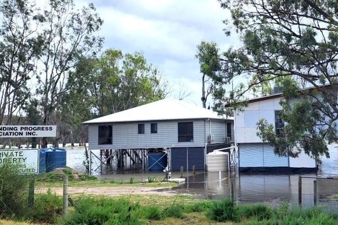
Rising River Murray to close key Riverland link within days
Thousands of commuters will be unable to use the main road connecting Loxton and Berri as early as this weekend as the River Murray floods and also threatens pumps vital to vineyards, citrus and almond crops.


River Murray water begins to surround Swan Reach shacks. Photo: Swan Reach Museum
The Department for Infrastructure and Transport said this morning that Bookpurnong Rd between Berri and Kemp Rd was expected to be closed next week and potentially as early as this weekend, due to rising water levels.
The department also said the Waikerie ferry would be unable to operate at its lower landing when the river depth hit 9.2 metres, which was expected to occur in the next week.
The ferry service was likely to be shut for up to three days while it was moved to a higher land, with Loxton Waikerie Mayor Trevor Norton saying detours will add significant travel time to commuters and those needing to access 24 hour emergency care at Berri Hospital.
Shacks and homes at Paisley Estate are already sandbagged and being abandoned in Blanchetown with water inundating others at Swan Reach and Morgan in the Riverland, with the State Government last week revising forecasts and warning flows could pass 200GL and inundate more than 4000 properties with the biggest flood since 1956.
“We all know exactly what we need to do and that is to meet these needs and not worry about anything else,” Norton said, adding that the region is also dealing with the highest rainfall it has seen in one hundred years.
“The Loxton High School has people who commute from over the river, there will be kids travelling back and forth, health services and semi-trailers,” he said.
Numerous riverside roads have been closed along the Murray in recent weeks as the state braces for 165GL per day flows across the border in early December, towns already watching jetties, boat ramps and riverbank buildings flood. See video of flooding at Swan Reach below
Other commuter roads are likely to close in coming weeks with an Infrastructure and Transport Department announcement today saying maps showing where this would happen at various water levels are currently being updated on its website.
“Detour routes for these potential road closures will also be available later this week, to provide alternative road travel options for locals that need to travel across the region and allow the transport of essential supplies, commodities and services to continue to reach communities,” the department announcement said.
Detour routes will be listed at this website.
Meanwhile, fruit growers along the river are increasingly concerned about water pumps being flooded, creating the devastating impact of flooding occurring near river banks and a drought at surrounding orchards reliant on its water for irrigation.
Infrastructure and Transport Minister Tom Koutsantonis this week told State Parliament 107 mainly shacks and community infrastructure along the River Murray had power disconnected at November 15.
“As the flow rate rises to 120GL per day, it is expected that approximately 2,000 customers will need to be disconnected,” he said.
These levels were impacting water pumps with Koutsantonis saying the Renmark substation was potentially at risk.
Chaffey MP Tim Whetstone, a former Renmark Irrigation Trust director and chairman of South Australia Murray Irrigators, told State Parliament this week he had been advised up to 2000 Riverland customers would have power disconnected this week.
“And a potential for up to 6,000 in coming weeks, with outages set to last for up to three months or more due to prolonged high river flows,” he said. “Permanent plantings are not going to live three months without water.”
“I have been contacted by producers saying they have received a letter that they may not be able to pump water on hundreds of millions of dollars worth of plantings.”
Shack and home owners at Swan Reach have been sandbagging and preparing for high waters with a Swan Reach Museum spokeswoman saying the Proud Mary and Murray Princess were still operating on the river but waterfront homes were now empty.
Department of Transport works to install landing infrastructure and clear vegetation to ensure the Waikerie ferry can operate at a high flow ramp once water levels reach 9.6 metres are completed.
No ferry service can operate at Waikerie for two to three days while the ferry is moved from the lower to the higher landing.
Department advice is that higher ramp ferry will be initially restricted to light vehicles only with single lane operations and increase to double lane operations and all vehicle types (excluding B-Double permitted vehicles) once the water depth reaches 10 metres.
Other ferries at Morgan, Lyrup, Mannum and Walker Flat are also at high risk of closure as water levels continue to rise.


