Rising River Murray threatens to close Riverland roads, ferries
An historic Riverland pub has the rising River Murray lapping at its back gate and is readying for patrons in boats to tie up directly outside its flood levy bank, as the slow surge of water from across the border threatens to close a major road and bridge and inundates a local caravan park. Watch the video


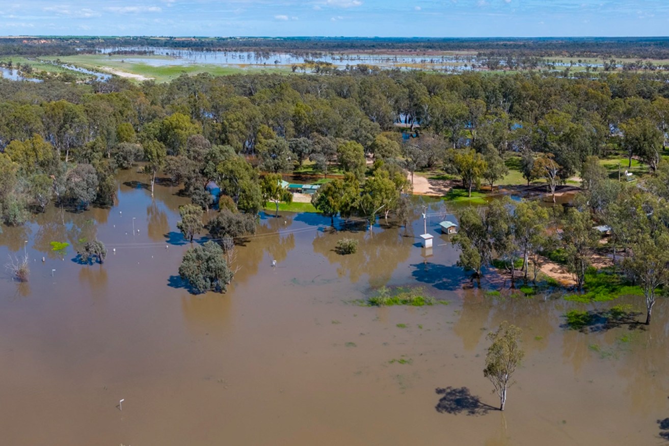
The River Murray is already flooding part of Loxton Riverfront Holiday Park. Photo: Murray River Pix
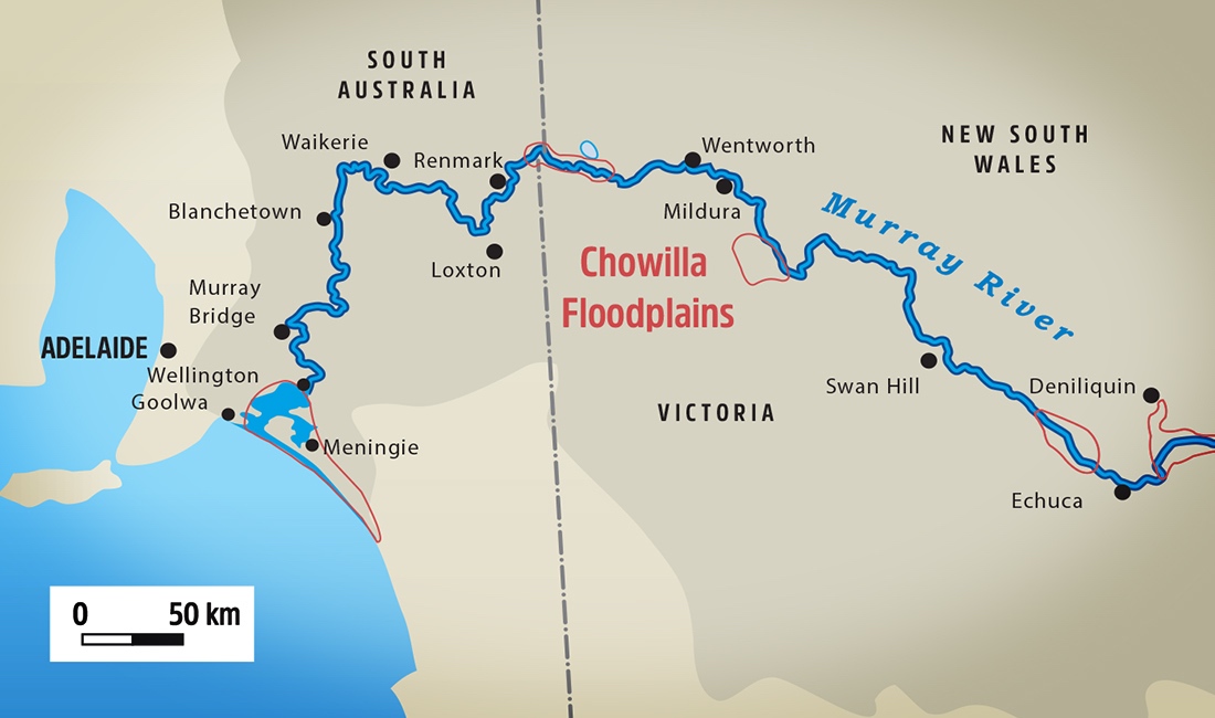
Loxton Waikerie Council is warning that if the forecast 90GL a day surge of water crossing the Victorian border rises to 100GL the Bookpurnong Road and bridge crossing the floodplains along with the ferry at Waikerie would close.
As the State Emergency Service stands by to update forecasts in the next 48 hours following flooding upstream in Victoria, Overland Corner Hotel owner Brad Flowers is fielding 20 calls a week from boaties wanting the water arrival experience at one of the state’s oldest pubs, 21km from Barmera.

River Murray water is lapping the back gate at historic Overland Corner Hotel. Publicans Nicole and Brad Flowers.
“Our pub has a water level mark on the actual side of the pub where the ’56 flood went over the doors and windows but we have a flood levy bank built around the pub in ’72 that should hold the water out,” Flowers said.
“The water has come up the road from the river about 700m and now the water is pretty much at the back gate. It won’t be long and our patrons will be able to drive their boats all the way up to the hotel, to tie up on the flood levy and walk into the beer garden.”
Today, a second major flood peak is expected around Echuca in Victoria with fears up to 2000 properties could be affected, while Kerang residents have been warned they may be isolated for at least a week.
Septics, water pumps, and boat pontoons have been disabled at waterfront public spaces along the river in SA while high waters have closed the lower section of Loxton Riverfront Holiday Park. Caudo Vineyard has closed its cellar door as rising water threatens its buildings near Cadell.
Loxton Waikerie Council chief executive officer David Beaton said the public road stretching along the riverfront at Loxton was also closed this morning.
“The Loxton Historical Village has a levy bank around it and we’re making sure it’s the right height but if it gets to the ’74 levels of 170GL to 180GL it will be a problem,” Beaton said.
[solstice_jwplayer mediaid=”E3VZK0wz” caption=”River Murray water floods the lower section of Loxton Riverfont Holiday Park. Murray River Pix” /]
Mid-Murray Council Mayor Dave Burgess said roads to some shacks in the Mannum, Walker Flat and Bowhill area are closed and owners are preparing for flooding.
“We first heard it was 80GL a day and then it was 90GL in the middle of November,” Burgess said.
“That was before the high falls and flooding happened over the border recently that will compound levels; we’re in the lap of the gods at this point.
“We are as prepared as we can be, infrastructure is secured, our road network will be monitored and if there is any risk our roads will be closed.”
SA Water has opened the Lock One gates at Blanchetown as river levels reach the same height both sides.
“We are currently operating locks in a ‘high water mode’, which means there is no regulation of water flowing through the structures, with lock chamber infrastructure removed to help equalise up and downstream water levels,” an SA Water spokesperson said.
“We were last required to do this at Lock One in 2016.
“We continue to liaise with the Murray-Darling Basin Authority and Department for Environment and Water on the impact of forecast River Murray flows on the operation of our locks.”

Water coming across the Victorian border is expected to continue rising following flooding in areas around Echuca and Shepparton.
There are reports of water at Renmark closing footpaths in front of its waterfront club last week while Banrock Station supervisor Kayla Mudge said the riverfront walking trails and board walk at its cellar door near Waikerie were likely to be closed soon.
Mudge said the station’s Ramsar-accredited wetlands had been waiting on approval for gates to be opened to its floodplains when the rising Murray water spilled over the top last week, with the entire wetland area was now under water.
“It won’t be too long before our walking trails will go under as well,” she said.


